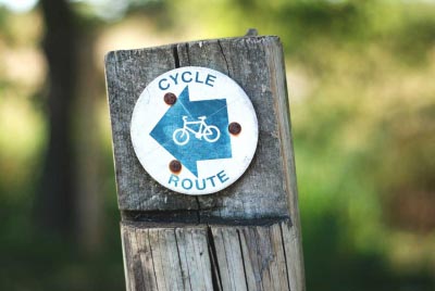
LOCAL BICYCLE TRAILS
THE SCHUYLKILL RIVER TRAIL
![]()
The Schuylkill River Trail (SRT) is owned, managed, maintained and developed by a number of organizations who have come together to form the Schuylkill River Trail Council. Until recently, the Schuylkill River Trail existed as short, unconnected sections of trails known by the names given to them locally. Enormous efforts have been made at local, county and state levels to connect these sections, close gaps in the trail and begin to identify and promote the trail as a single trail and regional asset. This work continues with proposals to close several remaining gaps in the trail and development of a single sign system for the trail using funds from the William Penn Foundation. (From the web site about us.)
The Manayunk Bridge Trail
The Manayunk Bridge Trail links the Cynwyd Heritage Trail in Lower Merion with the Manayunk section of Philadelphia just 3 blocks (uphill) from the Manayunk Canal Towpath, which is part of the Schuylkill River Trail network. It is possible to ride a loop which starts and ends on the Martin Luther King Drive and travels through parts of Fairmount Park, Wynnefield, Overbrook and the Cynwyd Heritage Trail. More information about this trail and the loop is available at The Manayunk Bridge Trail.
Friends of the Wissahickon
Many bikers use Forbidden Drive, a flat gravel path with easy grades that is suitable for most types of bicycles. Additionally the Yellow Trail, the White Trail, and almost all access trails from the outside of the park are open to cyclists. Expect to share trails with pedestrians and equestrians; please be respectful and yield accordingly.
Philadelphia Parks & Recreation (PPR) requires that bikers using the upper trails secure a trail permit. To obtain a permit, visit PPR website.
Friends of the Cynwyd Heritage Trail
The Friends of the Cynwyd Heritage Trail (FOCHT) was founded in 2008 by a group of dedicated volunteers committed to supporting the construction of the Trail. Currently, the Friends focus on supporting the volunteer efforts in beautifying the park.
Chester Valley Trail
The Chester Valley Trail is located on the old roadbed of the Chester Valley Railroad, a branch of the Reading Railroad. Completed in 1853, the railroad hauled out limestone and lime from booming Great Valley quarries and hauled in coal to fuel lime kilns. Before trucks proliferated in the 1920s, the railroad carried livestock, dairy and produce from thriving local farms to ready markets in Philadelphia. Passenger service ended in 1935 and freight service at the end of the century. In its heyday, the Chester Valley Railroad delivered the mail, united families, conveyed merchandise, carried the news, and provided a modest means of transport for the frugal and the well-to-do. As a rails-to-trails conversion, the railroad is still serving the public today
When completed it will link parks in Downingtown, Chester County's major commercial center at Exton, the Exton Park Site, the Chester County library, local trails, parks and communities in West Whiteland, East Whiteland,and Tredyffrin Townships in Chester County, and Upper Merion Township, Bridgeport and Norristown Boroughs in Montgomery County.
The trail will also provide an important pedestrian and bicycle commuter route to many office parks in the Great Valley corridor.
Perkiomen Trail
Connects many public parks and historic sites, among them Lower Perkiomen Valley Park, Central Perkiomen Valley Park, Green Lane Park, John James Audubon Center at Mill Grove, Pennypacker Mills, and the local Skippack Township trail that continues to Evansburg State Park. The trail passes through the historic villages and towns of Arcola, Collegeville, Schwenksville, Spring Mount, and Green Lane, offering many town services for trail visitors.